Name
...of the city, province or country from which to extract subareas
Administrative Level
...of the districts/countries you want to find
Help & Forum
Introduction
It is often very tedious to gather all Wikidata ID's in order to create a dynamic district map for Wikivoyage.
The macro on this page can automate this task.
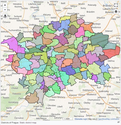
Example: To get all the districts of Prague is just a matter
of
minutes with this tool.
Workflow
- Enter the Name of the place to districtify.
- Enter the Administrative Level of the subdistricts you are looking for. This is sort of a trial-and-error process. The admin level has to be larger than the one of the place defined in the name field (So if you look for districts of a city like Prague, which has "admin_level=8" the districts will show up by entering either "9" or "10"). Alternatively check the sub-districts in OSM and copy the value of "admin_level" to get the right admin_level without trial-and-error (e.g. Vyšehrad has "admin_level=10". Thus you select the "10" radio button).
- Click on Create Mapshapes to get code, which can be directly pasted to Wikivoyage & an overview table of all districts.
Example queries
Subdistricts of PragueName: Prague
Administrative Level: 10
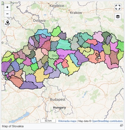 Regions of Slovakia*
Name: Slovakia
Administrative Level: 8
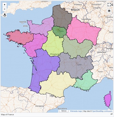 Regions of France*
Name: France
Administrative Level: 4
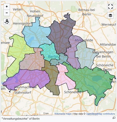 Boroughs of Berlin
Name: Berlin
Administrative Level: 9
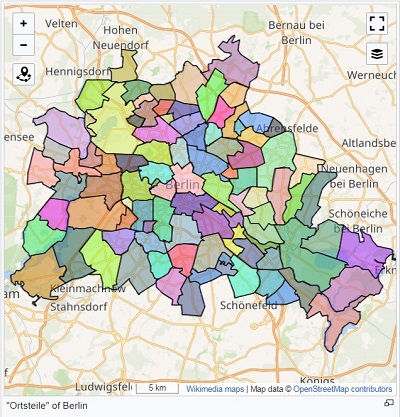 Neighborhoods of Berlin
Name: Berlin
Administrative Level: 10
Improve
If you have ideas on how to make this tool better please head over to the github page and participate or leave a comment down below.